Ground Penetrating Radar (GPR)
Knowledge and mapping of the subsurface medium is conducted using a wide range of geophysical methods. The most reliable and cost-effective of these methods for high resolution mapping of shallow depths of a few tens of meters, is by far, Ground Penetrating Radar (or Ground Probing Radar, georadar). GPR methods use electromagnetic waves to image the subsurface, by transmitting radar pulses into the ground and receiving a returned signal from interfaces below. Radar returns are gathered to an image, which can be analyzed for its derived electrical properties and subsurface characteristics.
Worldwide, Ground Penetrating Radar systems are put to use for non-destructive testing (NDT) and problem solving in the areas of:
- locating and mapping infrastructures,
- civil engineering (imaging and mapping of buildings, foundations, decks, bridges…),
- mineral location,
- mapping of quarries,
- location and mapping of underground water levels,
- archaeology,
- neotectonics,
- environmental studies,
- forensics and more.
Geo-Sense uses a complete range of the most sophisticated Ground Penetrating Radar systems available on the market: the Swedish RAMAC (Mala GeoScience) system. The advantage of this system is, other than its lightweight and modularity, is its interchangeable features, which allow it to be used in single-channel or multi-channel configurations, compatible with shielded, unshielded or borehole antennas. In practical terms, this means that there is a choice of more then ten different single channel configurations ranging from 25 MHz to 1Gz, and up to sixteen simultaneous recording channels in multi-channel mode, all operated from a one control unit, making it the most versatile system available on the market.
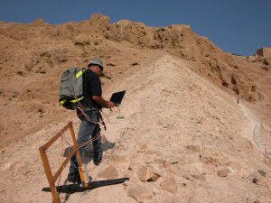
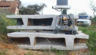
Here are several examples of Ground Penetrating Radar profiles:
- Detection of a karstic cave formed in limestone. This cave was exposed during road constructions near Ben Shemen, Israel using a GPR survey using the pulseEKKO-IV system (see the picture bellow). Archeological investigations in this cave revealed that it was used as a shelter during Greek and Roman periods.
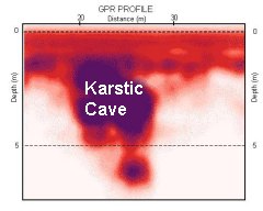
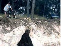
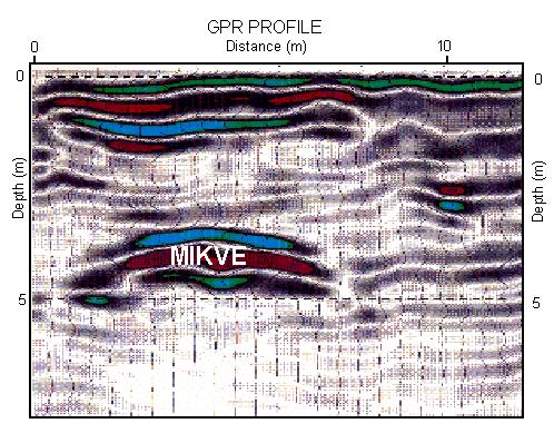
- Detection of an archeological cave in the Biblical city of Nysa (Shomron, Israel) using a GPR survey, from the time of Joshua Bin-Nun (around 1300 BCE). This cave is known as the “Mikve” of the city.
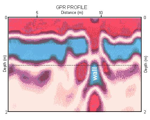
- Detection of an archeological wall from the Byzantine period (this wall was detected during a GPR survey nearby Tel Kitan, Jordan Valley, Israel).
