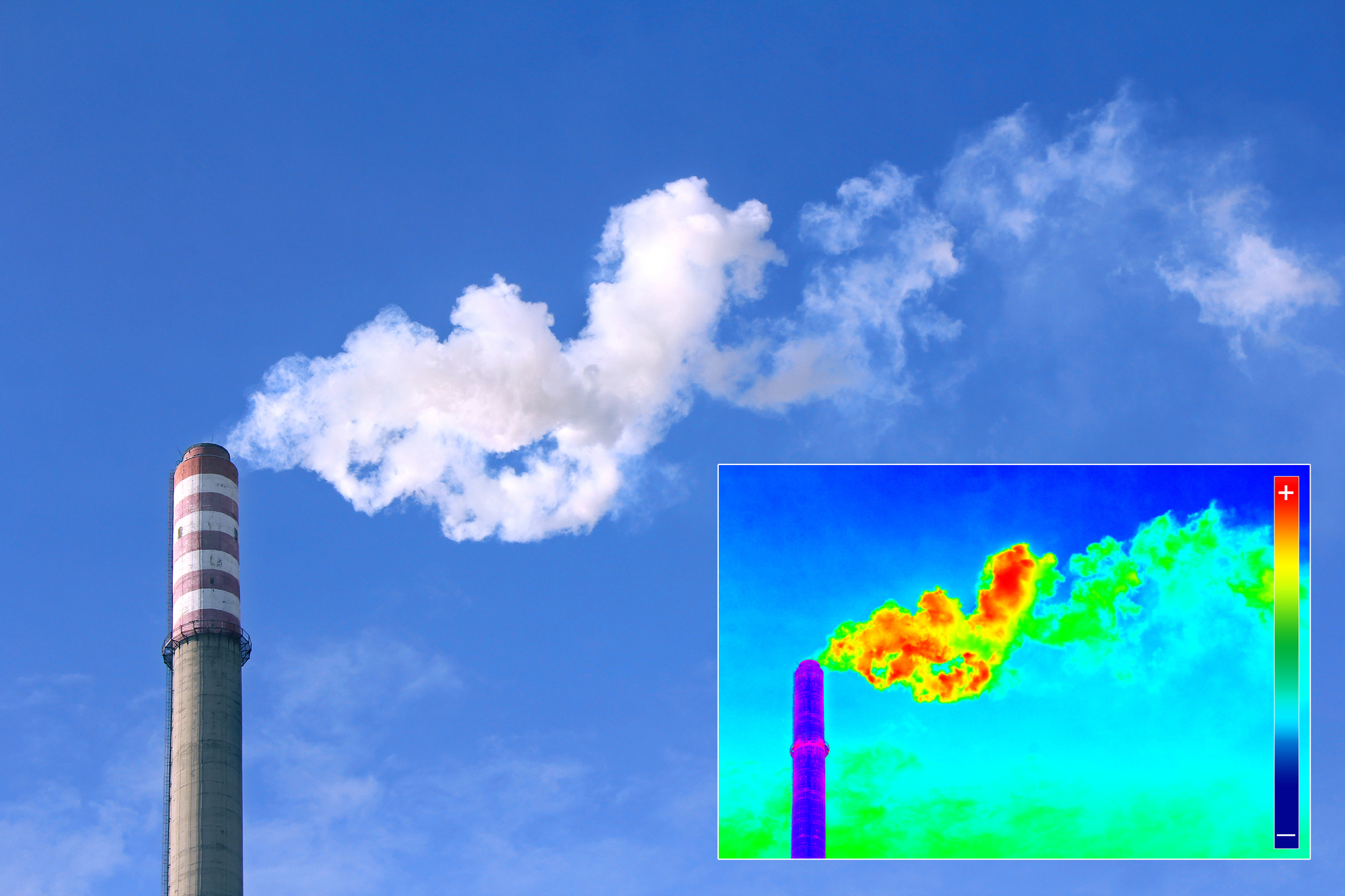
Remote sensing techniques offer valuable information from a unique point of view. Aerial photography and satellite images combined with field data can yield information not available to the naked eye from the ground. Such methods can drastically reduce the cost of any large field survey. These technologies are applied to many sectors, such as environment, geology, forestry, hydrology, agriculture, and hydrocarbon exploration.
Geo-Sense combines remote sensing techniques in most of its projects. Examination of the area prior to going out in the field, can yield useful information and present another “unconventional” view of the job at hand. In addition, remote sensing techniques can reveal vital information on geology and fault zones, thus saving precious time in the field and reducing the client’s time and money. We see this as a means and as an important tool for the future.


